-
 ×
- Domů
- Umělecké Tisky ▸
- Umělci ▸
- Kategorie ▸
- Výtvarné Styly ▸
- Obrazový rám ▸
- Tiskové médium ▸
- Všechna tisková média
- Plátno Leonardo (satén)
- Plátno Salvador (matné)
- Plátno Raphael (matné)
- Matný umělecký fotopapír
- Saténový umělecký fotopapír
- Barytový umělecký fotopapír
- Lesklý umělecký fotopapír
- Akvarel lepenka Munch
- Akvarel lepenka Renoir
- Akvarel lepenka Turner
- Akvarel lepenka Dürer
- Natural Line Hemp
- Natural Line Rice
- Kozo White, 110g
- Kozo Natural, 110g
- Inbe White, 125g
- Unryu, 55g
- Bamboo, 110g
- Premio Unryu, 165g
- Murakumo Natural, 42g
- Bizan Natural, 300g
- Bizan White, 300g
- Hliníkový kompozit 3mm
- Akrylátové sklo 5mm
- Objednat sadu vzorků
- Které tiskové médium se hodí?
Plátno
Fotopapír
Akvarelový karton
Natural Line
Japonský papír
Speciální média
Další informace
- Pomoc a servis ▸
- Kontaktujte nás
- Prodejte své umění
- Často kladené otázky
- Volná místa
- Reklamace
- Objednat vzorky
- Objednat poukázky
- Náklady na dopravu
- Doba výroby
- Udržitelnost
- Vyhledávání obrázků
- Zvláštní požadavky
- Kdo jsme?
- Cenová politika
- Firemní politika
- Záruka kvality
- Ocenění
- Napínací rám
- Pasparty
- Dekorativní rámy
- Zasklení
- Lišty
- Závěsné systémy
- Tisková média
- Tipy na údržbu
- Tisk
- Obchodní podmínky
- Ochrana údajů
- Právo na zrušení
Informace a služby
Další informace
Důležité informace
Právní informace
- Obchod ▸
- Kontakt





 Zobrazit ve 3D / AR
 Přidat do oblíbených
 Zvolte barvu stěny
 Zobrazit obraz v místnosti
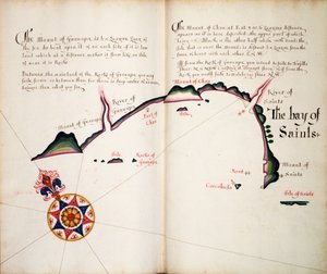
.jpg "Listy 3v & 4r, z Divers Voyages Touching the Discouerie of America... 1582 (knihtisk)")
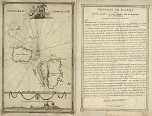
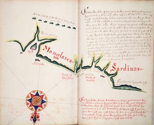
.jpg "Mapa pobřeží Nového Zélandu, ilustrace z Deník z plavby do jižních moří: na lodi Jeho Veličenstva, Endeavour, 1794 (ručně kolorovaná rytina)")

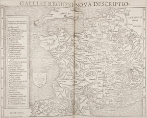

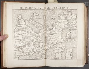
.jpg "První mapa Evropy z „Geographie work, poslední transdukce Řeků s nejpřísněji lisovanými originály“, kterou vytiskl Johann Scott v roce 1513")
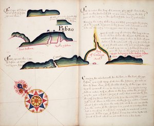
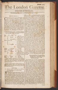
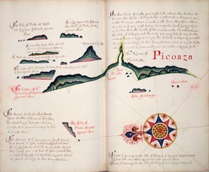
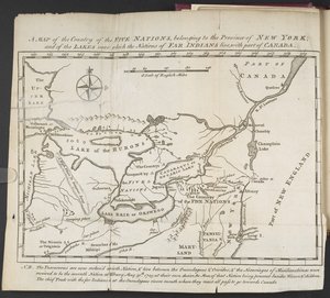
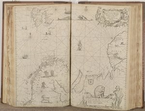
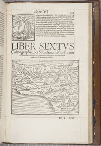
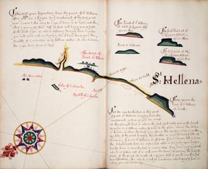
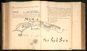

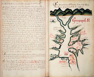
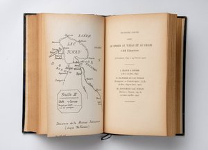
.jpg "Bound Volume, Recueil des Ouvrages en Serrurerie ... sur place Royale de Nancy (A Collection of Locksmith")


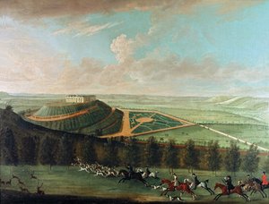
.jpg "Broome, sídlo sira Basila Dixwella, z")
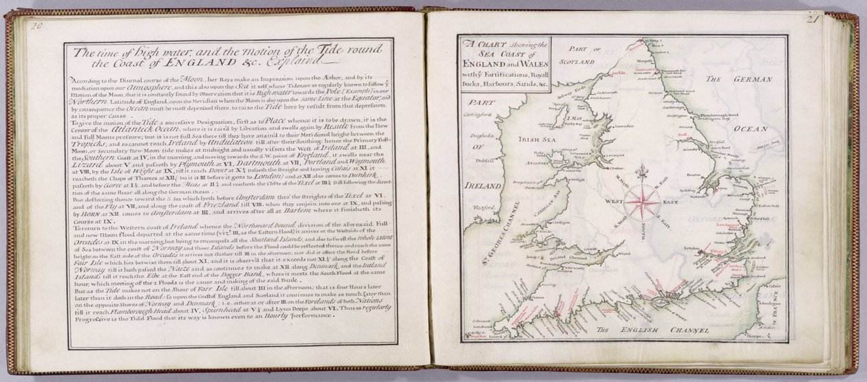
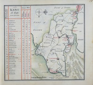
 - (MeisterDrucke-41908).jpg "Mapa mořského pobřeží Anglie a Walesu, tabule z ’A Compleat Sett of Mapps of England and Wales in General...’, 1724")
.jpg "Tunbridge Wells, z")
.jpg "Titulní strana kompletní sady map Anglie a Walesu obecně..., 1724 (pero, inkoust a wc na papíře)")
 engraved by Johannes Kip (c1652-1722) published c1750 (en - (MeisterDrucke-133065).jpg "Tunbridge Wells, z")
.jpg "Přední strana obálky Kompletní sady map Anglie a Walesu obecně..., 1724 (kůže)")
.jpg "Západní vyhlídka Knole, z „Třicet šest různých pohledů na sídla šlechticů a gentlemanů, v hrabství Kent“, vyryl I. Kip, kolem roku 1750")
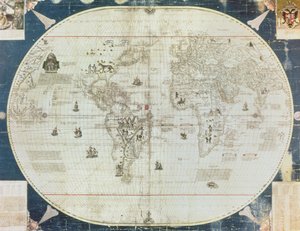
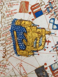
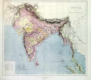
.jpg "Van Diemenův ostrov nebo Tasmánie, ze série map světa vydané Johnem Tallis und Co., Londýn a New York, 50. léta 19. století")
.jpg "Falklandské ostrovy a Patagonie, ze série map světa vydané John Tallis und Co., New York a Londýn, 50. léta 19. století")
.jpg "Mapa oblasti Sainte-Geneviève, Paříž, 1756")

.jpg "Mapa Vratislavi, Breslau, z díla „Civitates Orbis Terrarum“ Georga Brauna (1541-1622) a Franse Hogenberga (1535-90), kolem let 1572-1617")
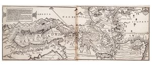
.jpg "Egypt a Rudé moře, detail z renesanční mapy Evropy, podle Jacopa Russa, 1528")
 - (MeisterDrucke-102048).jpg "Mapa Paříže, 1620 (detail z 285193)")
.jpg "Septentrionalium terrarum descriptio, mapa Arktidy, 1595")
.jpg "Mapa kmene Ašer, 1590")
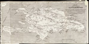
.jpg "Mapa zlatonosných oblastí v Peru z Atlas Maior, Sive Cosmographia Blaviana, 1662")
.jpg "Mapa Sevilly, Cádizu a Málagy, z díla „Civitates Orbis Terrarum“ Georga Brauna (1541-1622) a Franse Hogenberga (1535-90), kolem 1572")
.jpg "Ráno mezi kopci Coniston, Cumberland")
.jpg "Ženevské jezero s Mont Blancem v ranní záři")
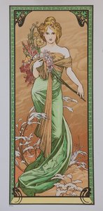
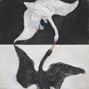
.jpg "Učedníci Petr a Jan běžící k hrobu ráno po Vzkříšení, kolem roku 1898")
 - (MeisterDrucke-153135).jpg "Kočka v duze")
.jpg "Samota na moři, 1852")
.jpg "Poslední večeře")
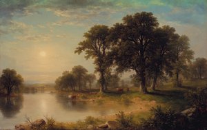
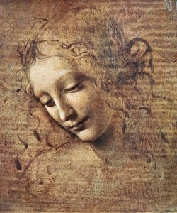
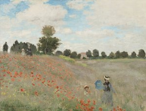
.jpg "Hřích")


 +43 4257 29415
 support@meisterdrucke.com
 Mo-Do: 7:00 - 16:00 | Fr: 7:00 - 13:00