-
 ×
- Domů
- Umělecké Tisky ▸
- Umělci ▸
- Kategorie ▸
- Výtvarné Styly ▸
- Obrazový rám ▸
- Tiskové médium ▸
- Všechna tisková média
- Plátno Leonardo (satén)
- Plátno Salvador (matné)
- Plátno Raphael (matné)
- Matný umělecký fotopapír
- Saténový umělecký fotopapír
- Barytový umělecký fotopapír
- Lesklý umělecký fotopapír
- Akvarel lepenka Munch
- Akvarel lepenka Renoir
- Akvarel lepenka Turner
- Akvarel lepenka Dürer
- Natural Line Hemp
- Natural Line Rice
- Kozo White, 110g
- Kozo Natural, 110g
- Inbe White, 125g
- Unryu, 55g
- Bamboo, 110g
- Premio Unryu, 165g
- Murakumo Natural, 42g
- Bizan Natural, 300g
- Bizan White, 300g
- Hliníkový kompozit 3mm
- Akrylátové sklo 5mm
- Objednat sadu vzorků
- Které tiskové médium se hodí?
Plátno
Fotopapír
Akvarelový karton
Natural Line
Japonský papír
Speciální média
Další informace
- Pomoc a servis ▸
- Kontaktujte nás
- Prodejte své umění
- Často kladené otázky
- Volná místa
- Reklamace
- Objednat vzorky
- Objednat poukázky
- Náklady na dopravu
- Doba výroby
- Udržitelnost
- Vyhledávání obrázků
- Zvláštní požadavky
- Kdo jsme?
- Cenová politika
- Firemní politika
- Záruka kvality
- Ocenění
- Napínací rám
- Pasparty
- Dekorativní rámy
- Zasklení
- Lišty
- Závěsné systémy
- Tisková média
- Tipy na údržbu
- Tisk
- Obchodní podmínky
- Ochrana údajů
- Právo na zrušení
Informace a služby
Další informace
Důležité informace
Právní informace
- Obchod ▸
- Kontakt





 Zobrazit ve 3D / AR
 Přidat do oblíbených
 Zvolte barvu stěny
 Zobrazit obraz v místnosti
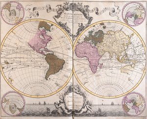
.jpg "Nová a správná mapa světa z atlasu moře, 1707 (ručně kolorovaný tisk)")
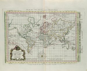
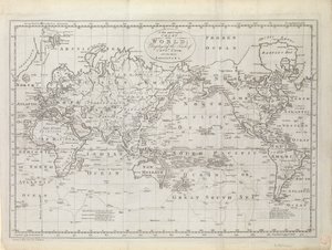
 published Geneva 1780 - (MeisterDrucke-65565).jpg "Mapa světa v Mercatorově projekci, z díla „Atlas de Toutes les Parties Connues du Globe Terrestre“ od Guillaumea Raynala (1713-96), vydáno v Ženevě, 1780")

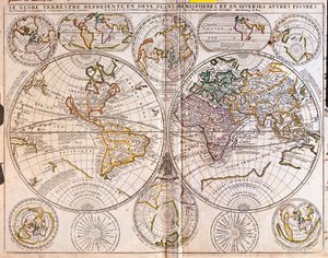
.jpg "Geo-hydrografická mapapamonde")
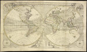
.jpg "Mapa světa (lept")
 - (MeisterDrucke-219723).jpg "Mapa Asie, vydaná v roce 1700, Paříž")

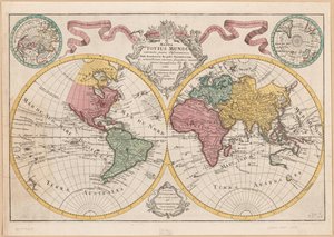
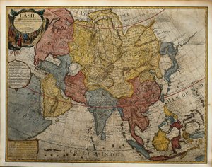
.jpg "Mapa")
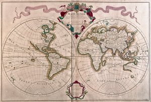
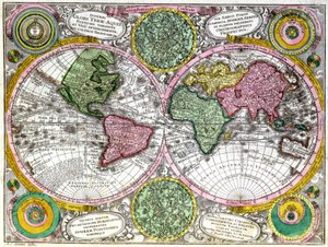
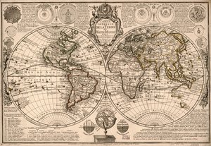
.jpg "Mapa světa na polokoulích")
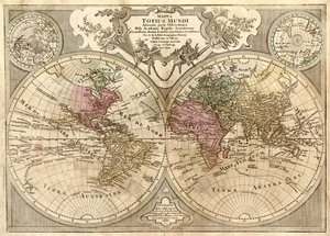

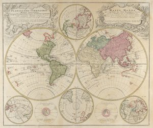
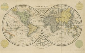
.jpg "Skutečný popis námořní expedice Francise Drakea, který s pěti loděmi odplul ze západní části Anglie 13. prosince 1577, obeplul zeměkouli a vrátil se 26. září")
.jpg "Planisphere World (lept")
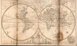


.jpg "Hovězí maso: schéma znázorňující různé kusy masa")
.jpg "Achilleův štít podle popisu v Homérově Iliadě, 1815")
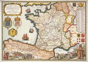
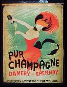

.jpg "„Muž se šesti hlavami“, karikatura Charlese Maurice de Talleyranda-Périgorda (1754-1838), 1815")
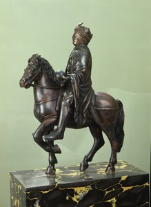


.jpg "Mapa Indie až po Novou Guineu, asi 1570-1603")

.jpg "Nová a přesná mapa Neobelgii, mapa, 1674, 1674 tištěná mapa, inkoust na papíře")
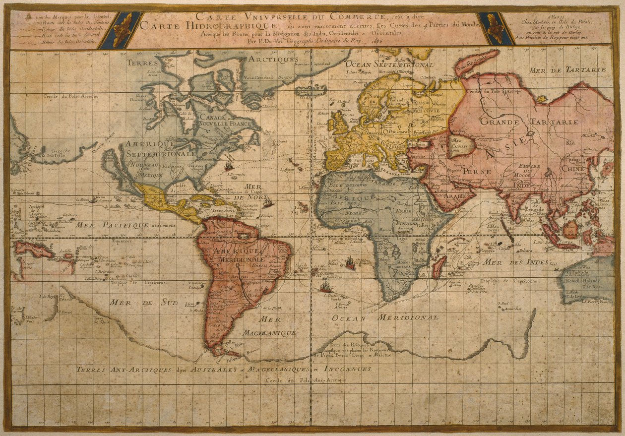
.jpg "Mapa světových obchodních lodních tras, kartografie Pierre Duval (1619-83), vydáno roku 1686, Paříž")
.jpg "Mapa znázorňující sídla indiánských kmenů USA v roce 1833, ilustrace z knihy")
.jpg "Mapa Lisabonu a Cascais z díla „Civitates Orbis Terrarum“ od Georga Brauna (1541-1622) a Franse Hogenberga (1535-90), asi 1572")
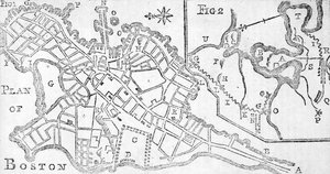
.jpg "Nebeská mapa planet")
.jpg "Mapa Alžírska, 1876")
.jpg "Froggettova mapa země Patnáct mil kolem Londýna, 1833")
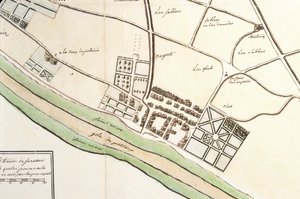
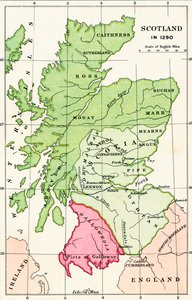
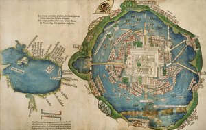
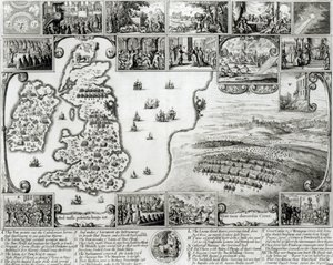
 (detail of - (MeisterDrucke-363656).jpg "Mapa Benátek, první polovina 17. století (panel) (detail z 64062)")
.jpg "Divoký stav z Průběhu říše")
.jpg "Ókeanovny")
.jpg "Malý dub")
.jpg "Vůz se senem")
.jpg "Portrét ženy, 1910")
.jpg "Louky u Greifswaldu")
.jpg "Venkovská zahrada se slunečnicemi")
.jpg "Ejiri v provincii Suruga")
.jpg "Polibek")
.jpg "Ráno v borovém lese")

 +43 4257 29415
 support@meisterdrucke.com
 Mo-Do: 7:00 - 16:00 | Fr: 7:00 - 13:00