-
 ×
- Domů
- Umělecké Tisky ▸
- Umělci ▸
- Kategorie ▸
- Výtvarné Styly ▸
- Obrazový rám ▸
- Tiskové médium ▸
- Všechna tisková média
- Plátno Leonardo (satén)
- Plátno Salvador (matné)
- Plátno Raphael (matné)
- Matný umělecký fotopapír
- Saténový umělecký fotopapír
- Barytový umělecký fotopapír
- Lesklý umělecký fotopapír
- Akvarel lepenka Munch
- Akvarel lepenka Renoir
- Akvarel lepenka Turner
- Akvarel lepenka Dürer
- Natural Line Hemp
- Natural Line Rice
- Kozo White, 110g
- Kozo Natural, 110g
- Inbe White, 125g
- Unryu, 55g
- Bamboo, 110g
- Premio Unryu, 165g
- Murakumo Natural, 42g
- Bizan Natural, 300g
- Bizan White, 300g
- Hliníkový kompozit 3mm
- Akrylátové sklo 5mm
- Objednat sadu vzorků
- Které tiskové médium se hodí?
Plátno
Fotopapír
Akvarelový karton
Natural Line
Japonský papír
Speciální média
Další informace
- Pomoc a servis ▸
- Kontaktujte nás
- Prodejte své umění
- Často kladené otázky
- Volná místa
- Reklamace
- Objednat vzorky
- Objednat poukázky
- Náklady na dopravu
- Doba výroby
- Udržitelnost
- Vyhledávání obrázků
- Zvláštní požadavky
- Kdo jsme?
- Cenová politika
- Firemní politika
- Záruka kvality
- Ocenění
- Napínací rám
- Pasparty
- Dekorativní rámy
- Zasklení
- Lišty
- Závěsné systémy
- Tisková média
- Tipy na údržbu
- Tisk
- Obchodní podmínky
- Ochrana údajů
- Právo na zrušení
Informace a služby
Další informace
Důležité informace
Právní informace
- Obchod ▸
- Kontakt





 Zobrazit ve 3D / AR
 Přidat do oblíbených
 Zvolte barvu stěny
 Zobrazit obraz v místnosti
_(etching_-_(MeisterDrucke-1030478).jpg "Mapa vlády státu Orléan (Francie) (lept")
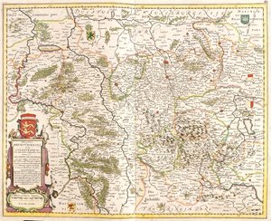
_(etching_-_(MeisterDrucke-982956).jpg "Mapa vévodství Brunswick (Německo) (lept")
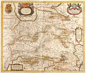
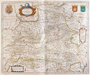
_(etching_-_(MeisterDrucke-1005225).jpg "Mapa Kastilského království (Španělsko) (lept")
.jpg "Závěsný")
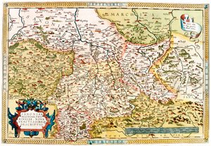
.jpg "Westfalia, Německo (rytina")
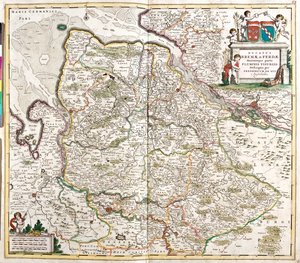
_(etching_-_(MeisterDrucke-982827).jpg "Mapa vévody z Brém a Verdenu (Německo) (lept")
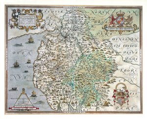
.jpg "Závěsný")
 - (MeisterDrucke-153535).jpg "Mapa Cambridgeshire, publikovaná Amsterdam c.1647-48 (ručně kolorovaná rytina)")
.jpg "Portugalsko (rytina")
.jpg "Limburg, Belgie (rytina")
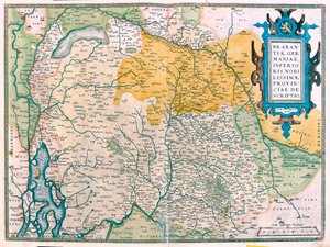
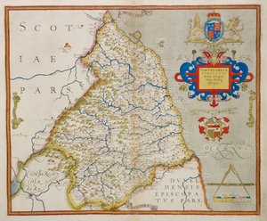
 from John Speeds Theatre of the Empire of Great Britain pub by John Sudbury and George Humble 1611-12 (hand coloured co - (MeisterDrucke-38105).jpg "The Bishoprick and City of Durham, vyrytý Jodocem Hondiem (1563-1612) z John Speed")
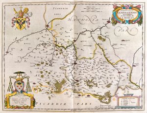

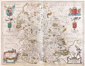
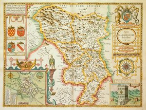
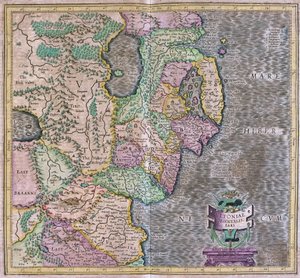
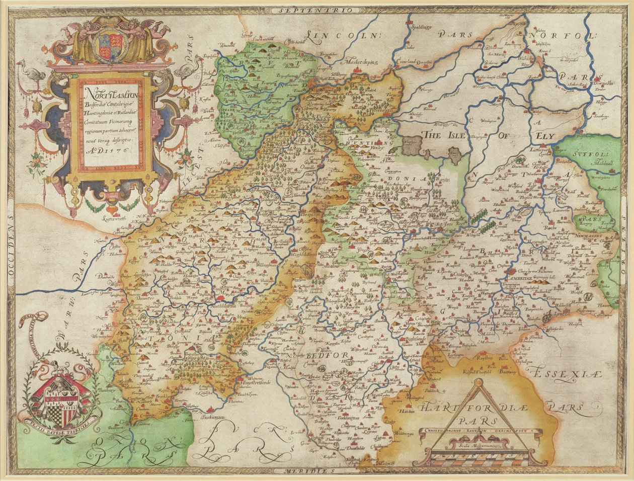
 - (MeisterDrucke-97194).jpg "Mapa Northamptonu a přilehlých hrabství, z „Atlas of England and Wales“, 1576")
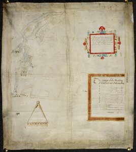
 - (MeisterDrucke-212831).jpg "Mapa hrabství Cornwall, 1579 (ručně kolorovaná rytina)")
.jpg "Mapa Yorkshire, vyrytá Williamem Webem, publikovaná v roce 1645")
 - (MeisterDrucke-53917).jpg "Mapa Denbigh a Flint, z")
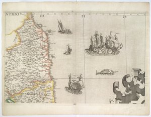
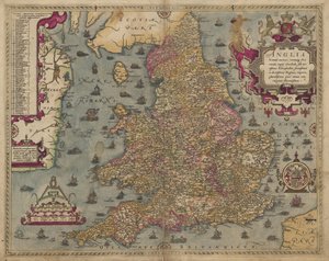
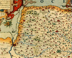
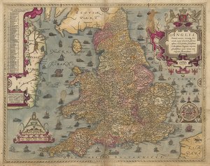
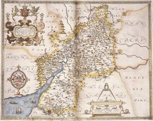
 Sf - (MeisterDrucke-239099).jpg "Mapa zvířat v Africe Sf")
.jpg "Mapa Atlantidy z díla „Mundus Subterraneus“, 1665-68")
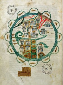
 - (MeisterDrucke-97158).jpg "Kalendář zvěrokruhu, ze světového atlasu o 33 mapách, Benátky, 1. září 1553")
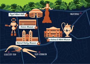
.jpg "Mapa Jižní Ameriky, vydaná roku 1700, Paříž")
.jpg "Detail Itálie z kopie Peutingerovy mapy")
.jpg "Mapa bitvy na Nilu, vydal William Blackwood and Sons, Edinburgh a Londýn, 1848")
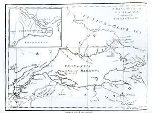
.jpg "Mapa č. 3 Zobrazující trasu flotily Armady, vyryla Augustine Ryther, 1588")
.jpg "F.52v Mapa Floridy a Antil, z")
.jpg "Mapa č.5 Zobrazující trasu flotily Armady, vyryla Augustine Ryther, 1588")
.jpg "Mapa č. 4 Zobrazení trasy flotily Armady, vyryté Augustinem Rytherem; 1588")
.jpg "Mapa zobrazující systém planetárních oběžných drah Tycha Braha kolem Země, z díla „Nebeský atlas neboli Harmonie vesmíru“ (Atlas coelestis seu harmonia macrocosmica), vydal Joannes Janssonius")
.jpg "Procházka po pláži")
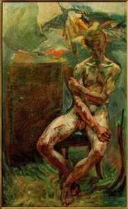
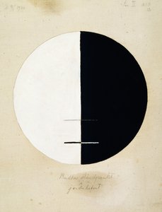
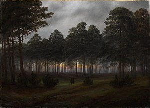
.jpg "Ostrov mrtvých")
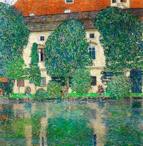
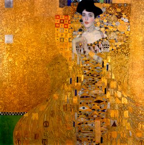
.jpg "Váza s růžemi, 1890")
.jpg "Jana z Arku, 1865")

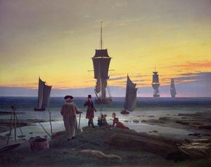
.jpg "Jaro, ze série zobrazující čtyři roční období, 1573")
.jpg "Dáma s hranostajem")
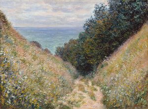
 Surrounded by her Ladies-in-Waiting 1855 - (MeisterDrucke-100747).jpg "Císařovna Evženie (1826-1920) obklopená svými dvorními dámami, 1855")

 +43 4257 29415
 support@meisterdrucke.com
 Mo-Do: 7:00 - 16:00 | Fr: 7:00 - 13:00