-
 ×
× - Domů
- Umělecké Tisky ▸
- Umělci ▸
- Kategorie ▸
- Výtvarné Styly ▸
- Obrazový rám ▸
- Tiskové médium ▸
- Všechna tisková média
- Plátno Leonardo (satén)
- Plátno Salvador (matné)
- Plátno Raphael (matné)
- Matný umělecký fotopapír
- Saténový umělecký fotopapír
- Barytový umělecký fotopapír
- Lesklý umělecký fotopapír
- Akvarel lepenka Munch
- Akvarel lepenka Renoir
- Akvarel lepenka Turner
- Akvarel lepenka Dürer
- Natural Line Hemp
- Natural Line Rice
- Kozo White, 110g
- Kozo Natural, 110g
- Inbe White, 125g
- Unryu, 55g
- Bamboo, 110g
- Premio Unryu, 165g
- Murakumo Natural, 42g
- Bizan Natural, 300g
- Bizan White, 300g
- Hliníkový kompozit 3mm
- Akrylátové sklo 5mm
- Objednat sadu vzorků
- Které tiskové médium se hodí?
Plátno
Fotopapír
Akvarelový karton
Natural Line
Japonský papír
Speciální média
Další informace
- Pomoc a servis ▸
- Kontaktujte nás
- Prodejte své umění
- Často kladené otázky
- Volná místa
- Reklamace
- Objednat vzorky
- Objednat poukázky
- Náklady na dopravu
- Doba výroby
- Udržitelnost
- Vyhledávání obrázků
- Zvláštní požadavky
- Kdo jsme?
- Cenová politika
- Firemní politika
- Záruka kvality
- Ocenění
- Napínací rám
- Pasparty
- Dekorativní rámy
- Zasklení
- Lišty
- Závěsné systémy
- Tisková média
- Tipy na údržbu
- Tisk
- Obchodní podmínky
- Ochrana údajů
- Právo na zrušení
Informace a služby
Další informace
Důležité informace
Právní informace
- Obchod ▸
- Kontakt





.jpg)
.jpg)
 Zobrazit ve 3D / AR
 Přidat do oblíbených
 Zvolte barvu stěny
 Zobrazit obraz v místnosti
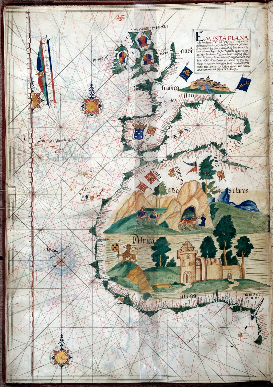
.jpg "Středomořská mapa zobrazující severovýchodní Atlantik")
 - (MeisterDrucke-107630).jpg "Egypt a Rudé moře, z námořního atlasu Středomoří a Středního východu (inkoust na pergamenu)")
![HM 1549 LUÍS TEIXEIRA, PORTOLANSKÝ GRAF. Lisabon, ca. 1600 Napsáno na svitku „Por Luis Te[ixe]ira em Lix[bo]a. Prodal v roce 1867 Henry Stevens (1791-1867) Henrymu Huthovi (1815-78), The Huth Library (1880), pt. 4, 1171. Prodej Alfreda Henryho Hutha (185](/kunstwerke/300px/Unbekannt_-_HM_1549_LUS_TEIXEIRA_PORTOLAN_CHART_Lisbon_ca_1600_Inscribed_on_a_scroll_Por_Lui_-_(MeisterDrucke-1397190).jpg "HM 1549 LUÍS TEIXEIRA, PORTOLANSKÝ GRAF. Lisabon, ca. 1600 Napsáno na svitku „Por Luis Te[ixe]ira em Lix[bo]a. Prodal v roce 1867 Henry Stevens (1791-1867) Henrymu Huthovi (1815-78), The Huth Library (1880), pt. 4, 1171. Prodej Alfreda Henryho Hutha (185")
.jpg "Středozemní moře, z portolánového atlasu šesti map, Placido Caloiro a Francesco Oliva, Pergamen. 1646.")
.jpg "Fol. 47v Mapa Peru, z díla „Cosmographie Universelle“, 1555")
.jpg "Námořní mapa Středozemního moře a Černého moře, 40. léta 15. století")
 (see also 330937-330938) - (MeisterDrucke-82399).jpg "Středomořská pánev, z námořního atlasu, 1646")
.jpg "Mapa Arábie a východního Středomoří, část Portolanského atlasu, cca 1650 (pero a inkoust na papíře)")
.jpg "Námořní mapa Středozemního moře a Černého moře")
 (see also 330914) - (MeisterDrucke-115397).jpg "Východní Středomoří, z námořního atlasu, 1520 (inkoust na pergamenu) (viz také 330914)")
.jpg "Námořní mapa Středozemního moře a Černého moře")
 - (MeisterDrucke-104412).jpg "Mapa Moluk, 1522")
_-_(MeisterDrucke-1421317).jpg "Magellanův průliv (vellum)")
.jpg "Přidat. 31318 B Mapa Evropy, Malé Asie a Afriky, až k mysu Rosso, pergamen")
 (detail from 330916) - (MeisterDrucke-131759).jpg "Severní Afrika, z námořního atlasu, 1520 (inkoust na pergamenu) (detail z 330916)")
.jpg "Ormuz-Calicut")
_1528_-_(MeisterDrucke-393975).jpg "Renesanční mapa Evropy, Jacopo Russo (po) 1528")
_-_(MeisterDrucke-1506929).jpg "Mapa Atlantského oceánu, Středozemního moře a Černého moře, kolem 1535")
_Eastern_Canada_-_(MeisterDrucke-993682).jpg "Detail mapy Labrador (Markland), východní Kanada")
.jpg "Černé moře a východní Středomoří")
 (detail from 330913) - (MeisterDrucke-123431).jpg "Rudé moře, z námořního atlasu, 1520 (inkoust na pergamenu) (detail z 330913)")
_detail_from_world_atlas_1565_-_(MeisterDrucke-43089).jpg "Jižní Amerika (South), detail z atlasu světa, 1565")
.jpg "Námořní mapa středomořské oblasti, včetně Evropy s Britskými ostrovy a části Skandinávie")
.jpg "Mapa Středozemního moře s částí Černého moře")
.jpg "Černé moře a východní Středomoří")
 (see also 330920-330921) - (MeisterDrucke-83175).jpg "Atlantické pobřeží Evropy a západní Středomoří, z námořního atlasu, 1651 (tuš na pergamenu) (viz také 330920-330921)")
 (detail from 330919) - (MeisterDrucke-120357).jpg "Města Marseille a Janov s jejich přístavy, z námořního atlasu, 1651 (inkoust na pergamenu) (detail z 330919)")
.jpg "Mapa Středomoří: Barcelona a Lepanto")
 (panel) - (MeisterDrucke-62799).jpg "Portrét Jana II. Portugalského (1455-95) (panel)")
_16th-17th_century_-_(MeisterDrucke-422398).jpg "Portrét Luíse Vaze de Camõese (asi 1524-80), 16.-17. století")
.jpg "Portugalské umění: zobrazení těhotné Panny Marie s rukou na břiše. Polychromovaná kamenná socha")
.jpg "Loď „Victoria“ Ferdinanda Magellana, první, která obeplula svět")
.jpg "Panoramatický pohled na Lisabon před zemětřesením roku 1755 - azulejos z počátku 18. století, panel z bývalého paláce hrabat z Tentugalu, Lisabon (velké panorama Lisabonu před zemětřesením roku 1755, fajáns z počátku 18. století, starý palác)")
_-_(MeisterDrucke-419993).jpg "Hrobka Inês de Castro (zemř. 1355)")
.jpg "Měřicí přístroj: portugalský námořní astroláb ze 16. století. Oxfordská univerzita")
.jpg "Karavela Vasca da Gamy, ilustrace z díla ‘Memórias das Armadas...’, kolem 1568")
 Portuguese soldier and first viceroy of the Indies - (MeisterDrucke-42041).jpg "Francisco de Almeida (asi 1450-1510), portugalský voják a první místokrál Indie")
.jpg "Zeměpisná mapa Azor, 1587")
_-_(MeisterDrucke-979226).jpg "Řezaná socha těhotné Panny Marie, Lamego, Portugalsko, asi 1562")
 The Fortunate King of Portugal from Lettura Nova by Alem Duoro 1513 - (MeisterDrucke-63889).jpg "Manuel I. (1469-1521) „Šťastný“, král Portugalska, z díla „Lettura Nova“ od Alema Duora, 1513")
.jpg "Lékař podávající pacientovi klystýr - Satirický panel z Lisabonu, první polovina 18. století (Lékař - Satirický panel, první polovina 18. století) - Národní muzeum azulejos, Lisabon (Portugalsko)")
.jpg "Panoramatický pohled na Lisabon před zemětřesením roku 1755 - Azulejos z počátku 18. století, panel odkazující na bývalý palác hrabat z Tentúgalu, Lisabon, velké panorama Lisabonu před zemětřesením roku 1755, fajáns z počátku 18. století, bývalý palác")
.jpg "Mapa Atlantského oceánu, kolem roku 1550")
.jpg "Umělcova zahrada ve Vétheuil, 1880")
.jpg "Psyché vstupující do Amorovy zahrady, 1903")
.jpg "Krajina v Krkonoších")
.jpg "Mnichovská pivní zahrada")
.jpg "Pohled na Konstantinopol a Bospor")
.jpg "Krajina, park Monceau")
.jpg "Bulvár Montmartre zimního rána")
.jpg "Ejiri v provincii Suruga")
.jpg "Ostrov mrtvých, 1883")
_Dos_des_-_(MeisterDrucke-1031376).jpg "Stvoření světa, znázorňující kosmickou sféru země (Bublina). Zadní strana křídel triptychu „Zahrada pozemských rozkoší“. Obraz Hieronyma Van Aekena (Aken), zvaného Hieronymus Bosch (1450-1516)")
.jpg "Lekníny, mrak, 1903")
.jpg "Božská komedie, Ráj, Zpěv 31: Zástup světců vytváří růži v empyreu (nebeská růže) - Dante Alighieri (1265-1321)")
.jpg "Západ slunce nad jezerem")
.jpg "Milovník kaktusů")
.jpg "Chlapec s vránou")

 +43 4257 29415
 support@meisterdrucke.com
 Mo-Do: 7:00 - 16:00 | Fr: 7:00 - 13:00