-
 ×
- Domů
- Umělecké Tisky ▸
- Umělci ▸
- Kategorie ▸
- Výtvarné Styly ▸
- Obrazový rám ▸
- Tiskové médium ▸
- Všechna tisková média
- Plátno Leonardo (satén)
- Plátno Salvador (matné)
- Plátno Raphael (matné)
- Matný umělecký fotopapír
- Saténový umělecký fotopapír
- Barytový umělecký fotopapír
- Lesklý umělecký fotopapír
- Akvarel lepenka Munch
- Akvarel lepenka Renoir
- Akvarel lepenka Turner
- Akvarel lepenka Dürer
- Natural Line Hemp
- Natural Line Rice
- Kozo White, 110g
- Kozo Natural, 110g
- Inbe White, 125g
- Unryu, 55g
- Bamboo, 110g
- Premio Unryu, 165g
- Murakumo Natural, 42g
- Bizan Natural, 300g
- Bizan White, 300g
- Hliníkový kompozit 3mm
- Akrylátové sklo 5mm
- Objednat sadu vzorků
- Které tiskové médium se hodí?
Plátno
Fotopapír
Akvarelový karton
Natural Line
Japonský papír
Speciální média
Další informace
- Pomoc a servis ▸
- Kontaktujte nás
- Prodejte své umění
- Často kladené otázky
- Volná místa
- Reklamace
- Objednat vzorky
- Objednat poukázky
- Náklady na dopravu
- Doba výroby
- Udržitelnost
- Vyhledávání obrázků
- Zvláštní požadavky
- Kdo jsme?
- Cenová politika
- Firemní politika
- Záruka kvality
- Ocenění
- Napínací rám
- Pasparty
- Dekorativní rámy
- Zasklení
- Lišty
- Závěsné systémy
- Tisková média
- Tipy na údržbu
- Tisk
- Obchodní podmínky
- Ochrana údajů
- Právo na zrušení
Informace a služby
Další informace
Důležité informace
Právní informace
- Obchod ▸
- Kontakt






 Zobrazit ve 3D / AR
 Přidat do oblíbených
 Zvolte barvu stěny
 Zobrazit obraz v místnosti
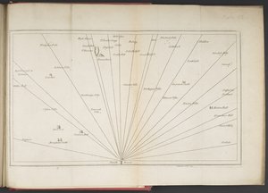
.jpg "Abecední tabulka názvů měst, vesnic atd. které jsou na mapě holandského Gelderlandu atd. od sr. Sanson")
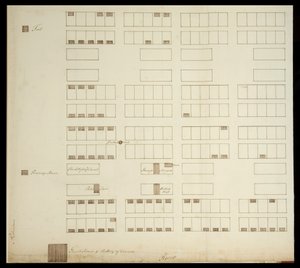




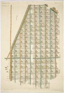
.jpg "Půdorys třinácti trhů ve městě New York, 1833 (černý inkoust, s barevným lavírováním, na papíře)")
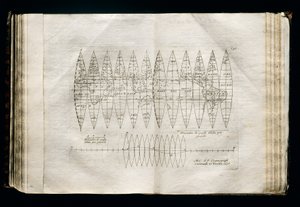
.jpg "Výšky dosud měřených hor")
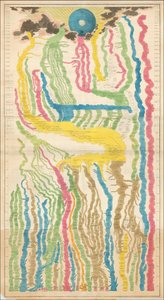
.jpg "Geologie, 1833-39")
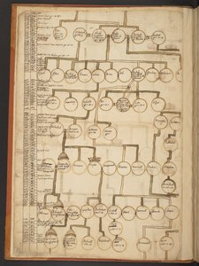
.jpg "Původ evropských vládců od císaře Ferdinanda I. a krále Rudolfa I. Habsburského")
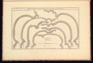
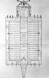
.jpg "Plán královské mincovny ve věži, 1701")
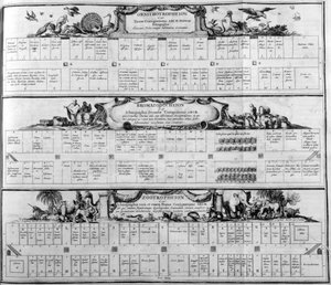


.jpg "Hovězí maso: schéma znázorňující různé kusy masa")
.jpg "Achilleův štít podle popisu v Homérově Iliadě, 1815")

.jpg "„Muž se šesti hlavami“, karikatura Charlese Maurice de Talleyranda-Périgorda (1754-1838), 1815")


.jpg "Mapa zlatonosných oblastí v Peru z Atlas Maior, Sive Cosmographia Blaviana, 1662")
.jpg "Mapa Skotského království, 17. století, Scotia Regnum, ovlivněná Mercatorovým atlasem")
.jpg "Mapa zachycující zničení španělské kolonie St. Augustine na Floridě dne 7. července 1586 anglickým loďstvem, kterému velel Sir Francis Drake (1540-96), 1589")
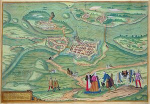
.jpg "Panoramatický pohled na Baltské moře a trasu flotily ze Spitheadu do Petrohradu podle vládních map a plánů, které byly pořízeny pod dohledem důstojníka výpravy pod vedením sira Charlea.")
 - (MeisterDrucke-51305).jpg "Mapa Durhamu, 1777 (ručně kolorovaná rytina)")
 - (MeisterDrucke-101695).jpg "Mapa střední Evropy, 1486 (detail z 157909)")
.jpg "Mapa Německa, Germania Antiqua, z „The Atlas of Ancient Geography“ od Samuela Butlera, vydáno v Londýně, kolem roku 1829")

 - (MeisterDrucke-89206).jpg "Mapa východního Středomoří")
.jpg "Ms. 986, sv. 1, plán a mapa Cambrai, z „Atlasu Ludvíka XIV.“, 1683-88")
.jpg "Mapa Turecka, Arábie a Persie, podle Guillaume de L")
 - (MeisterDrucke-39312).jpg "Mapa jižního West-Pointu, Virginie, z")
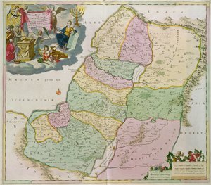
.jpg "Vzkříšení Krista, z pravého křídla Isenheimského oltáře, kolem 1512-16, detail 17677")
.jpg "Poslední večeře")
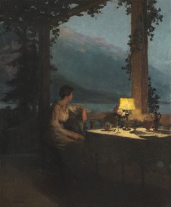
.jpg "Oběd: Monetova zahrada v Argenteuil, kolem roku 1873")
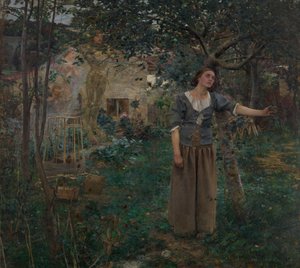
.jpg "Ležící ženský akt")
.jpg "Smrt Sókrata")
 (charcoal on paper) - (MeisterDrucke-304553).jpg "Stále se učím (Aun Aprendo)")
.jpg "Strom vran")

 +43 4257 29415
 support@meisterdrucke.com
 Mo-Do: 7:00 - 16:00 | Fr: 7:00 - 13:00