-
 ×
- Domů
- Umělecké Tisky ▸
- Umělci ▸
- Kategorie ▸
- Výtvarné Styly ▸
- Obrazový rám ▸
- Tiskové médium ▸
- Všechna tisková média
- Plátno Leonardo (satén)
- Plátno Salvador (matné)
- Plátno Raphael (matné)
- Matný umělecký fotopapír
- Saténový umělecký fotopapír
- Barytový umělecký fotopapír
- Lesklý umělecký fotopapír
- Akvarel lepenka Munch
- Akvarel lepenka Renoir
- Akvarel lepenka Turner
- Akvarel lepenka Dürer
- Natural Line Hemp
- Natural Line Rice
- Kozo White, 110g
- Kozo Natural, 110g
- Inbe White, 125g
- Unryu, 55g
- Bamboo, 110g
- Premio Unryu, 165g
- Murakumo Natural, 42g
- Bizan Natural, 300g
- Bizan White, 300g
- Hliníkový kompozit 3mm
- Akrylátové sklo 5mm
- Objednat sadu vzorků
- Které tiskové médium se hodí?
Plátno
Fotopapír
Akvarelový karton
Natural Line
Japonský papír
Speciální média
Další informace
- Pomoc a servis ▸
- Kontaktujte nás
- Prodejte své umění
- Často kladené otázky
- Volná místa
- Reklamace
- Objednat vzorky
- Objednat poukázky
- Náklady na dopravu
- Doba výroby
- Udržitelnost
- Vyhledávání obrázků
- Zvláštní požadavky
- Kdo jsme?
- Cenová politika
- Firemní politika
- Záruka kvality
- Ocenění
- Napínací rám
- Pasparty
- Dekorativní rámy
- Zasklení
- Lišty
- Závěsné systémy
- Tisková média
- Tipy na údržbu
- Tisk
- Obchodní podmínky
- Ochrana údajů
- Právo na zrušení
Informace a služby
Další informace
Důležité informace
Právní informace
- Obchod ▸
- Kontakt




 Zobrazit ve 3D / AR
 Přidat do oblíbených
 Zvolte barvu stěny
 Zobrazit obraz v místnosti




 in Asia - (MeisterDrucke-57567).jpg "Mapa cest a výprav Alexandra Velikého (356-323 př. n. l.) v Asii")
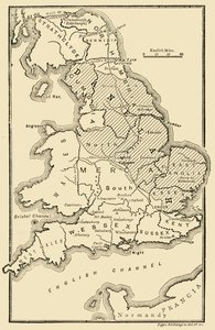
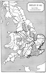
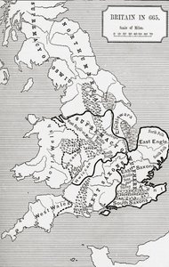
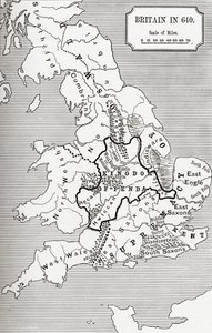
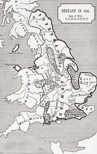
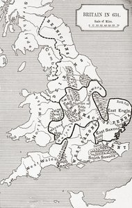
.jpg "Mapa Británie v roce 658, produkoval Stanford")
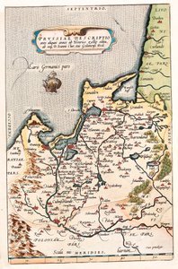
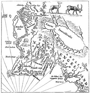
.jpg "Nový čínský atlas, čínský Tartary a Thibet, Haag 1737.")


.jpg "Hovězí maso: schéma znázorňující různé kusy masa")
.jpg "Achilleův štít podle popisu v Homérově Iliadě, 1815")
.jpg "„Muž se šesti hlavami“, karikatura Charlese Maurice de Talleyranda-Périgorda (1754-1838), 1815")




.jpg "Athénská škola, ze Stanza della Segnatura, 1510-11")
.jpg "Hvězdná noc nad Rhônou, 1888")

.jpg "Malba z Hrobu potápěče z jižního pohřebiště v Paestu, 480-470 př. n. l.")
.jpg "Kompozice VIII. Obraz Vasilije Kandinského (nebo Wassily Kandinski či Kandinskij, 1866-1944). 1915 Slunce. 201x140 cm New York, Guggenheimovo muzeum")
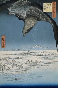
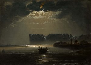
.jpg "Rosa centifolia foliacea, stolistá růže, foliacea, z Les Roses, 1817-24")
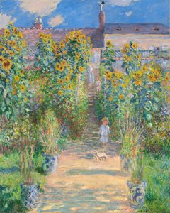
.jpg "Magický kruh")
.jpg "Kostel v Cassone")


 +43 4257 29415
 support@meisterdrucke.com
 Mo-Do: 7:00 - 16:00 | Fr: 7:00 - 13:00