-
 ×
- Domů
- Umělecké Tisky ▸
- Umělci ▸
- Kategorie ▸
- Výtvarné Styly ▸
- Obrazový rám ▸
- Tiskové médium ▸
- Všechna tisková média
- Plátno Leonardo (satén)
- Plátno Salvador (matné)
- Plátno Raphael (matné)
- Matný umělecký fotopapír
- Saténový umělecký fotopapír
- Barytový umělecký fotopapír
- Lesklý umělecký fotopapír
- Akvarel lepenka Munch
- Akvarel lepenka Renoir
- Akvarel lepenka Turner
- Akvarel lepenka Dürer
- Natural Line Hemp
- Natural Line Rice
- Kozo White, 110g
- Kozo Natural, 110g
- Inbe White, 125g
- Unryu, 55g
- Bamboo, 110g
- Premio Unryu, 165g
- Murakumo Natural, 42g
- Bizan Natural, 300g
- Bizan White, 300g
- Hliníkový kompozit 3mm
- Akrylátové sklo 5mm
- Objednat sadu vzorků
- Které tiskové médium se hodí?
Plátno
Fotopapír
Akvarelový karton
Natural Line
Japonský papír
Speciální média
Další informace
- Pomoc a servis ▸
- Kontaktujte nás
- Prodejte své umění
- Často kladené otázky
- Volná místa
- Reklamace
- Objednat vzorky
- Objednat poukázky
- Náklady na dopravu
- Doba výroby
- Udržitelnost
- Vyhledávání obrázků
- Zvláštní požadavky
- Kdo jsme?
- Cenová politika
- Firemní politika
- Záruka kvality
- Ocenění
- Napínací rám
- Pasparty
- Dekorativní rámy
- Zasklení
- Lišty
- Závěsné systémy
- Tisková média
- Tipy na údržbu
- Tisk
- Obchodní podmínky
- Ochrana údajů
- Právo na zrušení
Informace a služby
Další informace
Důležité informace
Právní informace
- Obchod ▸
- Kontakt




 Zobrazit ve 3D / AR
 Přidat do oblíbených
 Zvolte barvu stěny
 Zobrazit obraz v místnosti

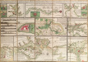


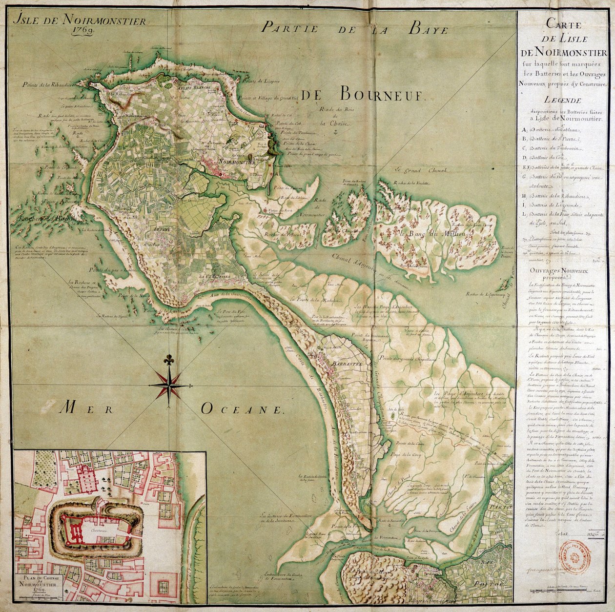
 from John Speeds Theatre of the Empire of Great Britain pub by John Sudbury and George Humble 1611-12 (hand coloured copper engraving) - (MeisterDrucke-93357).jpg "Wight Island, vyrytý Jodocem Hondiem (1563-1612) z Johna Speeda")
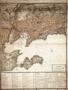
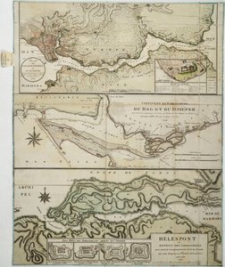
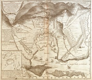
_(Engraving_-_(MeisterDrucke-971666).jpg "Mapa Toulonu (Francie) (rytina")
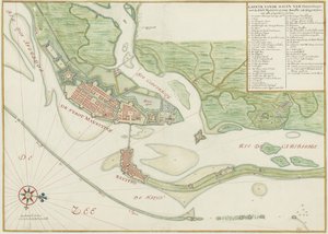
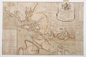
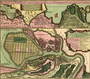
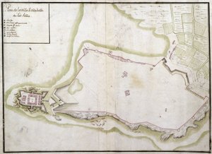
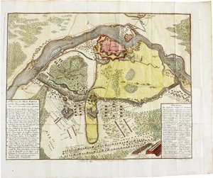
 - (MeisterDrucke-162485).jpg "Včasný průzkum města New York a jeho okolí do Greenwiche, 1766 (pero a inkoust na lesklém papíře)")
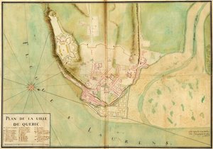
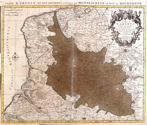
_(etching_-_(MeisterDrucke-1054088).jpg "Mapa Artois (Pas de Calais, Francie) (lept")

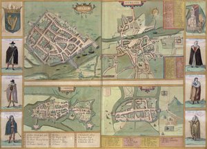


.jpg "Hovězí maso: schéma znázorňující různé kusy masa")
.jpg "Achilleův štít podle popisu v Homérově Iliadě, 1815")
.jpg "„Muž se šesti hlavami“, karikatura Charlese Maurice de Talleyranda-Périgorda (1754-1838), 1815")



.jpg "Bílé lekníny, 1899")
.jpg "Studie pláže")

.jpg "Polibek")
.jpg "Napoleon překračující Alpy")
.jpg "Myslivec v lese (Zasněžený jedlový les)")
.jpg "Pohled na Benátky: Dóžecí palác, Dogana a část San Giorgio, 1841")
.jpg "Po koupeli, 1890")
.jpg "Putující stíny")
.jpg "Straka")


 +43 4257 29415
 support@meisterdrucke.com
 Mo-Do: 7:00 - 16:00 | Fr: 7:00 - 13:00