-
 ×
- Domů
- Umělecké Tisky ▸
- Umělci ▸
- Kategorie ▸
- Výtvarné Styly ▸
- Obrazový rám ▸
- Tiskové médium ▸
- Všechna tisková média
- Plátno Leonardo (satén)
- Plátno Salvador (matné)
- Plátno Raphael (matné)
- Matný umělecký fotopapír
- Saténový umělecký fotopapír
- Barytový umělecký fotopapír
- Lesklý umělecký fotopapír
- Akvarel lepenka Munch
- Akvarel lepenka Renoir
- Akvarel lepenka Turner
- Akvarel lepenka Dürer
- Natural Line Hemp
- Natural Line Rice
- Kozo White, 110g
- Kozo Natural, 110g
- Inbe White, 125g
- Unryu, 55g
- Bamboo, 110g
- Premio Unryu, 165g
- Murakumo Natural, 42g
- Bizan Natural, 300g
- Bizan White, 300g
- Hliníkový kompozit 3mm
- Akrylátové sklo 5mm
- Objednat sadu vzorků
- Které tiskové médium se hodí?
Plátno
Fotopapír
Akvarelový karton
Natural Line
Japonský papír
Speciální média
Další informace
- Pomoc a servis ▸
- Kontaktujte nás
- Prodejte své umění
- Často kladené otázky
- Volná místa
- Reklamace
- Objednat vzorky
- Objednat poukázky
- Náklady na dopravu
- Doba výroby
- Udržitelnost
- Vyhledávání obrázků
- Zvláštní požadavky
- Kdo jsme?
- Cenová politika
- Firemní politika
- Záruka kvality
- Ocenění
- Napínací rám
- Pasparty
- Dekorativní rámy
- Zasklení
- Lišty
- Závěsné systémy
- Tisková média
- Tipy na údržbu
- Tisk
- Obchodní podmínky
- Ochrana údajů
- Právo na zrušení
Informace a služby
Další informace
Důležité informace
Právní informace
- Obchod ▸
- Kontakt





 Zobrazit ve 3D / AR
 Přidat do oblíbených
 Zvolte barvu stěny
 Zobrazit obraz v místnosti
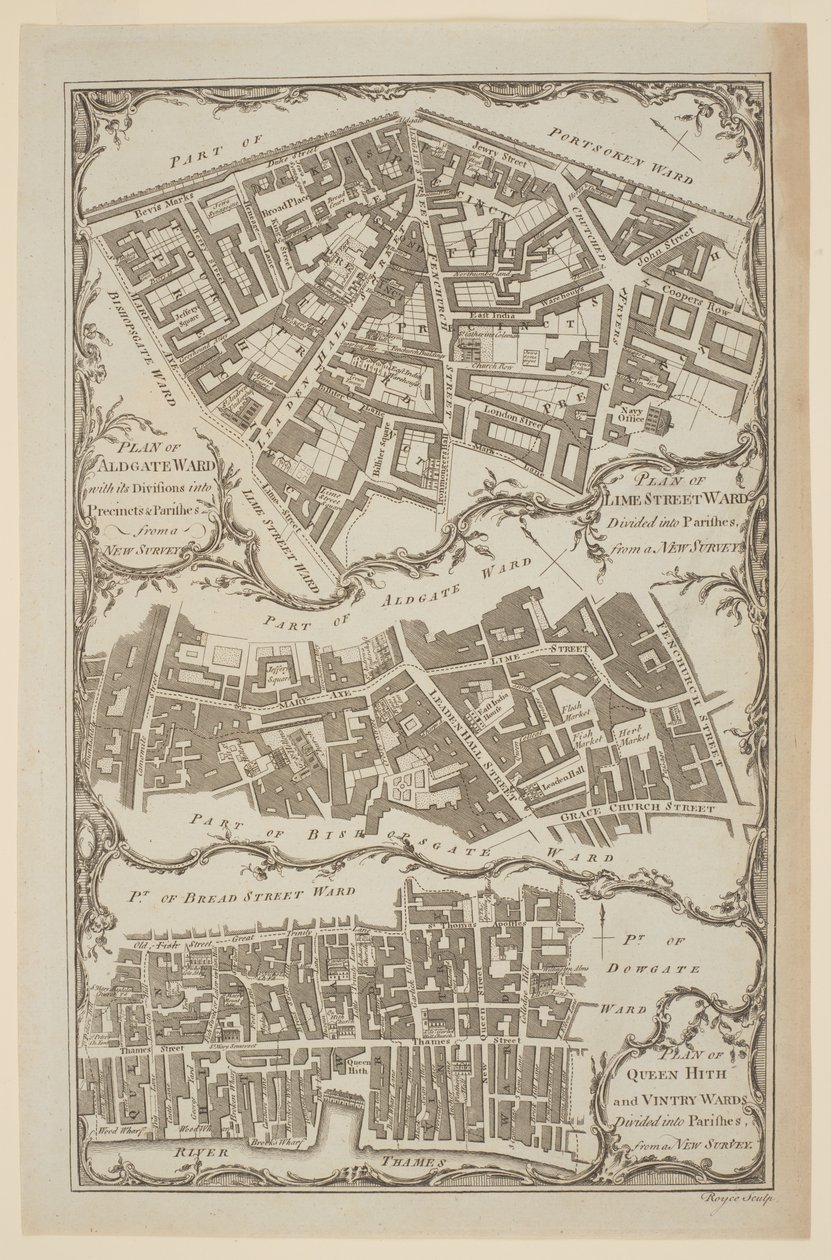
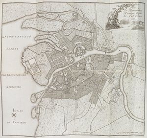
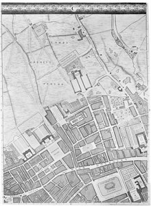
.jpg "Plán měst Londýna a Westminster a Borough of Southwark, vyryl John Tinney, hospoda. 1746")
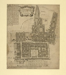
.jpg "The Parish of St. James")
.jpg "Interaktivní prohlížeč")

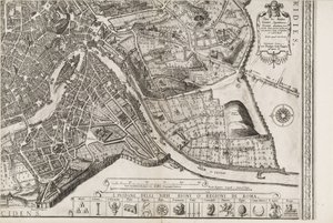
.jpg "Logganova mapa Oxfordu, východní list, z „Oxonia Illustrated“, vydaná v roce 1675")
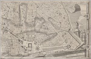
_-_Beleg_van_Bonn_1703Plan_de_la_Ville_de_Bonne_et_du_Fort_de_Bourgogne_()_(title_o_-_(MeisterDrucke-1327941).jpg "Beleg van Bonn, 1703 Mapa města Bonne a burgundské pevnosti (...) (nadpis na objektu)")
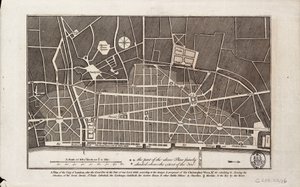
.jpg "Návrh nařízení Akerselven a zákona s přilehlými okresy")
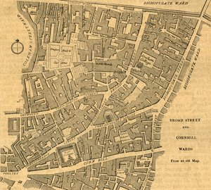
.jpg "Logganova mapa Oxfordu, Western Sheet, z „Oxonia Illustrated“, vydaná v roce 1675")
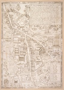
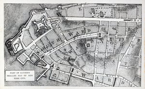


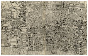

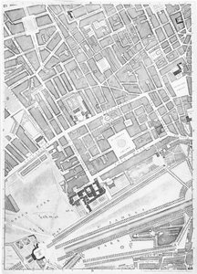
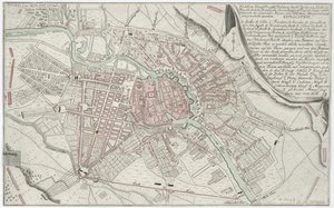
.jpg "Mapa Lambeth a Vauxhall, Londýn, 1746")
.jpg "Kostel a chalupa s osvětlenými okny")
.jpg "Portrét krále Richarda III.")
 c1740-50 - (MeisterDrucke-77045).jpg "Kidbrooke Park, Kent, dříve připisovaný Georgi Lambertovi (1700-65) kolem 1740-50")

.jpg "Podrobná mapa poloostrova Gallipoli a Dardanel v Turecku, 1915, z publikace „The War Illustrated Album deLuxe“, vydané v Londýně roku 1916")
.jpg "Mapa světa s červeně vyznačenými državami Britského impéria, kolem roku 1870")

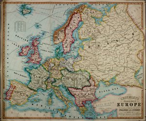

.jpg "Paní ze Shalottu")
.jpg "Matka houba se svými dětmi, kolem roku 1900")
.jpg "Zahrada pozemských rozkoší")
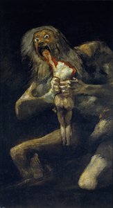
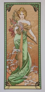
.jpg "Geograf")
.jpg "Obchodník s koberci")
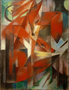

.jpg "Bitva u Trafalgaru, 1805")
.jpg "Malý dub")


.jpg "Panna Maria s anděly")

 +43 4257 29415
 support@meisterdrucke.com
 Mo-Do: 7:00 - 16:00 | Fr: 7:00 - 13:00