-
 ×
- Domů
- Umělecké Tisky ▸
- Umělci ▸
- Kategorie ▸
- Výtvarné Styly ▸
- Obrazový rám ▸
- Tiskové médium ▸
- Všechna tisková média
- Plátno Leonardo (satén)
- Plátno Salvador (matné)
- Plátno Raphael (matné)
- Matný umělecký fotopapír
- Saténový umělecký fotopapír
- Barytový umělecký fotopapír
- Lesklý umělecký fotopapír
- Akvarel lepenka Munch
- Akvarel lepenka Renoir
- Akvarel lepenka Turner
- Akvarel lepenka Dürer
- Natural Line Hemp
- Natural Line Rice
- Kozo White, 110g
- Kozo Natural, 110g
- Inbe White, 125g
- Unryu, 55g
- Bamboo, 110g
- Premio Unryu, 165g
- Murakumo Natural, 42g
- Bizan Natural, 300g
- Bizan White, 300g
- Hliníkový kompozit 3mm
- Akrylátové sklo 5mm
- Objednat sadu vzorků
- Které tiskové médium se hodí?
Plátno
Fotopapír
Akvarelový karton
Natural Line
Japonský papír
Speciální média
Další informace
- Pomoc a servis ▸
- Kontaktujte nás
- Prodejte své umění
- Často kladené otázky
- Volná místa
- Reklamace
- Objednat vzorky
- Objednat poukázky
- Náklady na dopravu
- Doba výroby
- Udržitelnost
- Vyhledávání obrázků
- Zvláštní požadavky
- Kdo jsme?
- Cenová politika
- Firemní politika
- Záruka kvality
- Ocenění
- Napínací rám
- Pasparty
- Dekorativní rámy
- Zasklení
- Lišty
- Závěsné systémy
- Tisková média
- Tipy na údržbu
- Tisk
- Obchodní podmínky
- Ochrana údajů
- Právo na zrušení
Informace a služby
Další informace
Důležité informace
Právní informace
- Obchod ▸
- Kontakt





 Zobrazit ve 3D / AR
 Přidat do oblíbených
 Zvolte barvu stěny
 Zobrazit obraz v místnosti
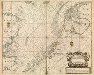
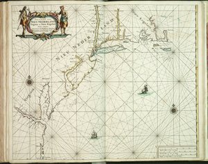
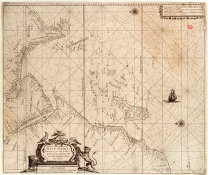

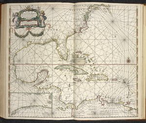
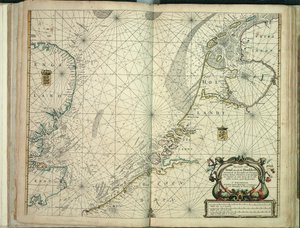
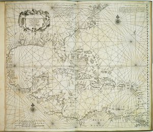
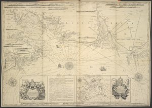
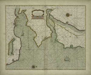
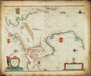
.jpg "Anglický lodivod první kniha: popis severní plavby, cca 1671 (papír)")
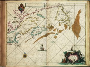
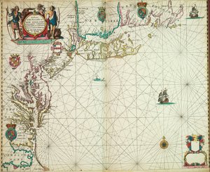
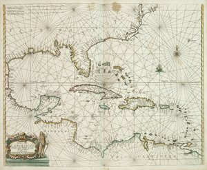
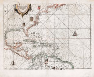
 published in Amsterdam 1683 (hand coloured engraving) - (MeisterDrucke-115315).jpg "Amerika, deska 17 z „Le Nouveau et Grand Illuminant Flambeau de la Mer“, sestavil Claes Jansz. Vooght (fl.1680-96), vydáno v Amsterdamu 1683 (ručně kolorovaná rytina)")

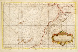
.jpg "Zvýhodněná karta pro západní pobřeží Afriky")
.jpg "Ústa Loiry")
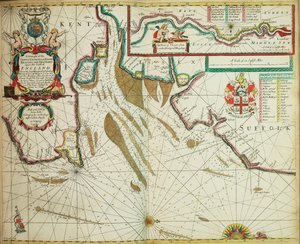
 - (MeisterDrucke-670164).jpg "Starožitná mapa kanálu, 1666 (barevná rytina)")
.jpg "Mapa z mapové sbírky Národní knihovny. Mapa byla vydána v a zobrazuje norské pobřeží, Agder, Rogaland")
.jpg "Nová rozšířená stupňovitá mapa celého Černého moře, sahající od Asaffu po Konstantinopol, s vyznačením téměř všech přístavů, řek a pevností či opevnění nacházejících se na mořském pobřeží, podle nejpřesnějšího průzkumu t")
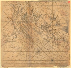
.jpg "Pobřežní typy Grónska, ostrov, Davidův průliv, ostrov Johna Mayena a Hitlandu, severní pobřeží Skotska a Irska")
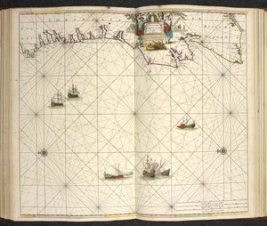
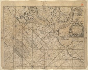

.jpg "Terrarum Orbis Tabula, podle G. a Schagena. Vydáno kolem roku 1689")
.jpg "Plaketa s krajinou ve stylu chinoiserie a zlacenými detaily, kolem roku 1680")


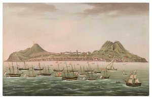
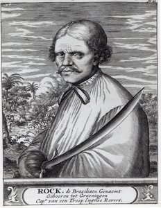
.jpg "Zázrak Panny Marie Nazaretské. Kostel Panny Marie Nazaretské (Largo Nossa Senhora da Nazaré). Portugalsko.")
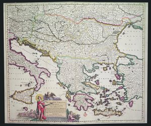
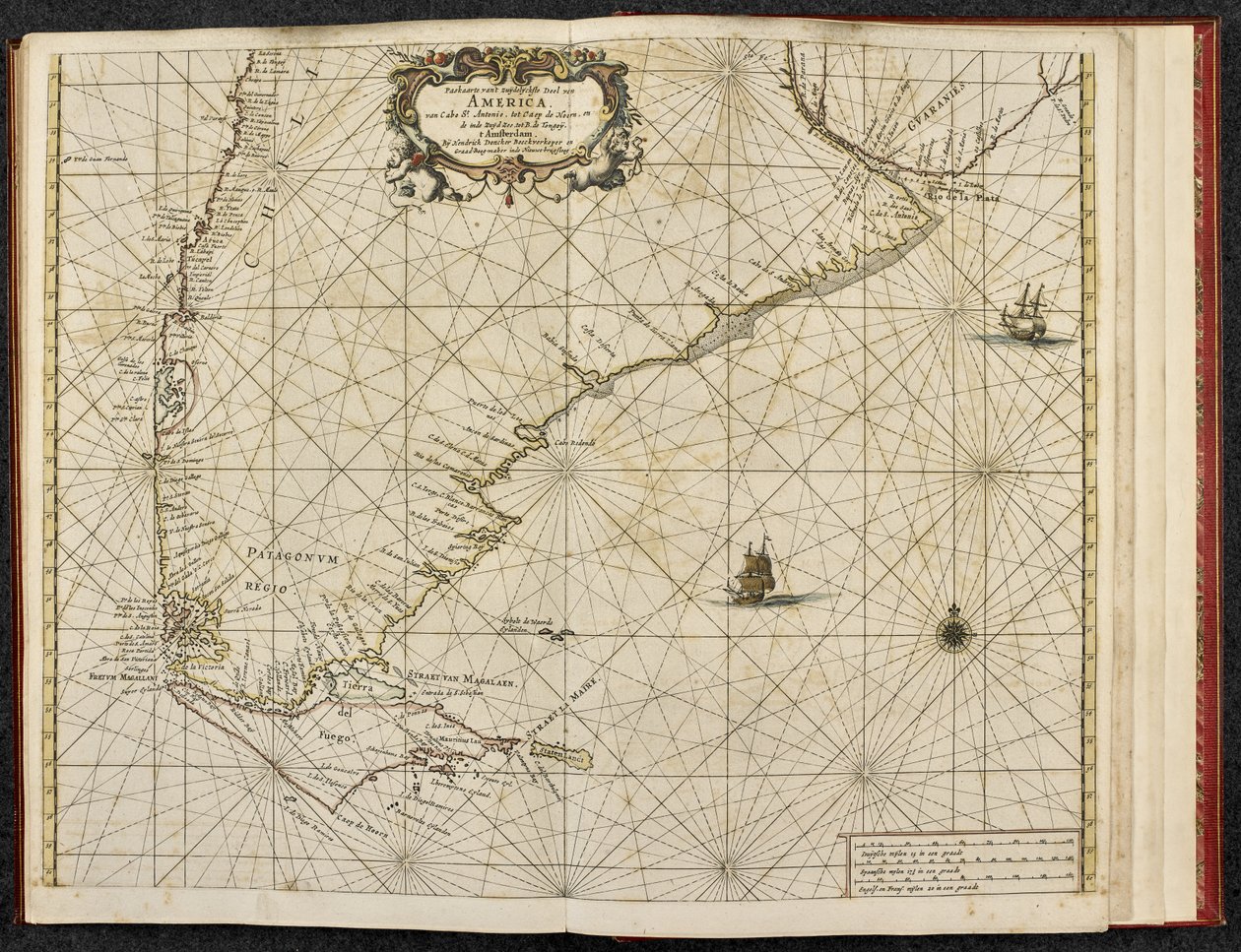
 - (MeisterDrucke-103966).jpg "Mapa Magalhãesova průlivu, Patagonie")

.jpg "Král Alvaro I. z Konga přijímá nizozemské vyslance, ilustrace z Dapperova díla „Popis Afriky“, vydaného roku 1668")

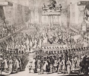

.jpg "Zvěstování, kolem 1438-45")
.jpg "Váza s růžemi, 1890")
.jpg "Ilustrace z „Havrana“ Edgara Allana Poea, 1882")
 - (MeisterDrucke-637264).jpg "Pohled z okna, 1988")
.jpg "Sen o Arkádii")
.jpg "Vlčí máky v Argenteuil")

.jpg "Rovníková džungle, 1909")
.jpg "Kosatce")
.jpg "Tři slunečnice")
.jpg "Zajetí Krista")

 +43 4257 29415
 support@meisterdrucke.com
 Mo-Do: 7:00 - 16:00 | Fr: 7:00 - 13:00