-
 ×
- Domů
- Umělecké Tisky ▸
- Umělci ▸
- Kategorie ▸
- Výtvarné Styly ▸
- Obrazový rám ▸
- Tiskové médium ▸
- Všechna tisková média
- Plátno Leonardo (satén)
- Plátno Salvador (matné)
- Plátno Raphael (matné)
- Matný umělecký fotopapír
- Saténový umělecký fotopapír
- Barytový umělecký fotopapír
- Lesklý umělecký fotopapír
- Akvarel lepenka Munch
- Akvarel lepenka Renoir
- Akvarel lepenka Turner
- Akvarel lepenka Dürer
- Natural Line Hemp
- Natural Line Rice
- Kozo White, 110g
- Kozo Natural, 110g
- Inbe White, 125g
- Unryu, 55g
- Bamboo, 110g
- Premio Unryu, 165g
- Murakumo Natural, 42g
- Bizan Natural, 300g
- Bizan White, 300g
- Hliníkový kompozit 3mm
- Akrylátové sklo 5mm
- Objednat sadu vzorků
- Které tiskové médium se hodí?
Plátno
Fotopapír
Akvarelový karton
Natural Line
Japonský papír
Speciální média
Další informace
- Pomoc a servis ▸
- Kontaktujte nás
- Prodejte své umění
- Často kladené otázky
- Volná místa
- Reklamace
- Objednat vzorky
- Objednat poukázky
- Náklady na dopravu
- Doba výroby
- Udržitelnost
- Vyhledávání obrázků
- Zvláštní požadavky
- Kdo jsme?
- Cenová politika
- Firemní politika
- Záruka kvality
- Ocenění
- Napínací rám
- Pasparty
- Dekorativní rámy
- Zasklení
- Lišty
- Závěsné systémy
- Tisková média
- Tipy na údržbu
- Tisk
- Obchodní podmínky
- Ochrana údajů
- Právo na zrušení
Informace a služby
Další informace
Důležité informace
Právní informace
- Obchod ▸
- Kontakt






 Zobrazit ve 3D / AR
 Přidat do oblíbených
 Zvolte barvu stěny
 Zobrazit obraz v místnosti
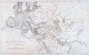
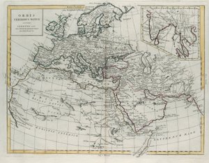
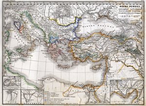
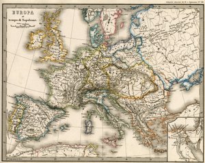
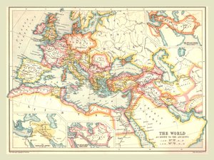
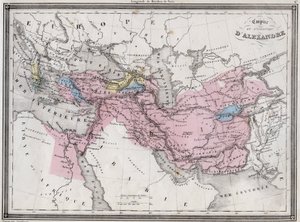
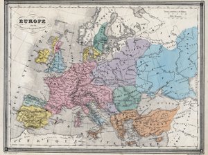
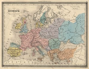
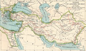
.jpg "Empires of Persia and Macedon")

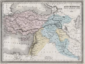
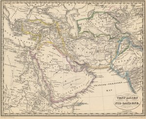
.jpg "Západní Asii")
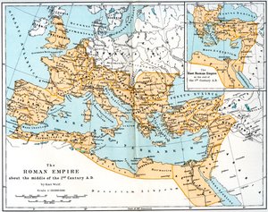
.jpg "Osmanská říše v roce 1696 Jaillotem (Středozemní moře, zvláště vysoké rozlišení)")
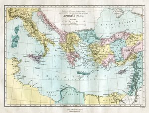
.jpg "Země putovaly apoštoly a ukazují cesty sv. Pavla mezi Asií a Evropou")
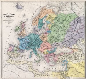
.jpg "Mapa Evropy, 1841")
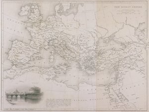
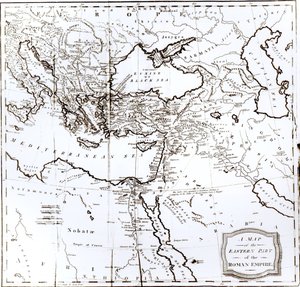
.jpg "Empires of the Persians and Macedones.")
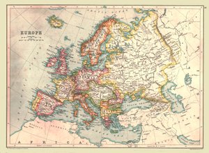
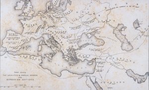
.jpg "Mapa Evropy, severní Afriky a západní Asie, Orbis Veteribus Notus, z knihy „The Atlas of Ancient Geography“ od Samuela Butlera, vydané v Londýně, kolem roku 1829")
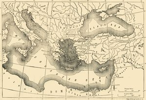
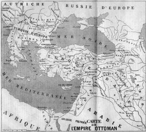
.jpg "Říše Karla Velikého, z Atlas Historique et Pittoresque, M J-H Schnitzler, 1857")


_De_Architectura_(On_Architec_-_(MeisterDrucke-1512626).jpg "VITRUVIUS, Marcus Vitruvius Pollio (1. století př. n. l.). „De Architectura“ (O architektuře), se španělským překladem Miguela de Urrea. Vydáno v Alcalá de Henares Juanem Graciánem (1582). Ilustrace na straně 35 s kánonem lidského těla. Dřevořez")

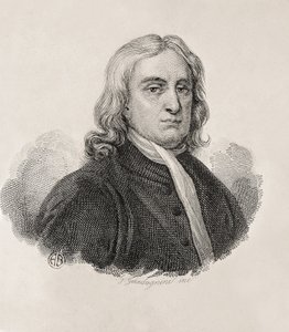

_-_Captain_Edward_Teach_(Thatch)_dit_Barbe_-_(MeisterDrucke-1635205).jpg "Edward „Blackbeard“ Teach (1680? - 1718) - kapitán Edward Teach (Thatch), zvaný Barbenoire (Black Beard neboli Blackbeard)")

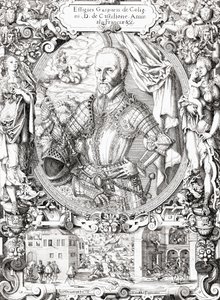
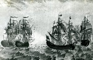
.jpg "Tahiťanky, na pláži, 1891")
.jpg "Pandora")
.jpg "Magický kruh")

.jpg "Jezírko s lekníny, 1904")
.jpg "Daniel v jámě lvové, mezzotinta od J. B. Pratta, s ručním kolorováním, vydal Thomas Agnew and Sons, 1892")
 Water-Lilies - (MeisterDrucke-21577).jpg "Lekníny („Žlutá nirvána“)")

.jpg "Ostrov mrtvých")

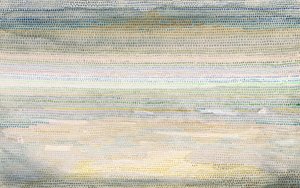
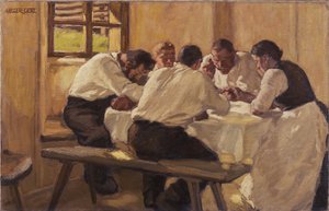

.jpg "Město Trója od moře, ilustrace z Homérovy «Odysseie», přeložené Victorem Bérardem, 1929-33")

 +43 4257 29415
 support@meisterdrucke.com
 Mo-Do: 7:00 - 16:00 | Fr: 7:00 - 13:00